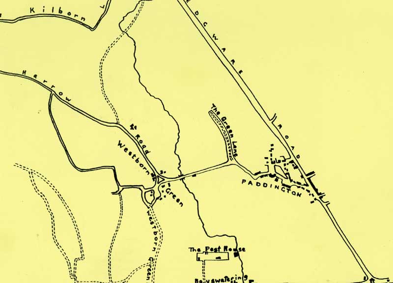
John Rocque's 1745 Map
 |
||
| Whole Map | Full Size | Full Size Map in New Window |
A redrawing of John Rocque's map of Westbourne and Paddington in 1745
At this period the whole district was farm land with country roads wandering from village to village and the River Westbourne passing down the centre and into Hyde Park.
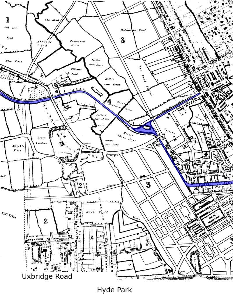
The Parish Map by Bartlett and Britton, 1834
Bartlett was apprenticed to Britton, but would have been twenty three years old and out of his apprenticeship when they made this map. Houses had begun to creep along the Edgware Road. North Wharf Road had been built, but the majority of the area was unchanged. The canals and Little Venice lay in the midst of fields.
Cockerell's proposed plan for roads and reservoirs for the new Tyburnia had been laid over the old field pattern, with the present Paddington Station site set out as a grid of roads. The River Westbourne was still entirely above ground as far as the Bayswater Road, except for the short length where it passed below the Canal. In a few years the street pattern was to be altered and slowly the river disappeared into culverts as new housing estates were built.
 |
|||
| Bartlett and Britton, 1834 | Whole Map | Full Size | Full Size Map in New Window |
| Ordinace Survey , 1864 | Whole Map | Full Size | Full Size Map in New Window |
