The Redevelopment of Paddington Goods Yard
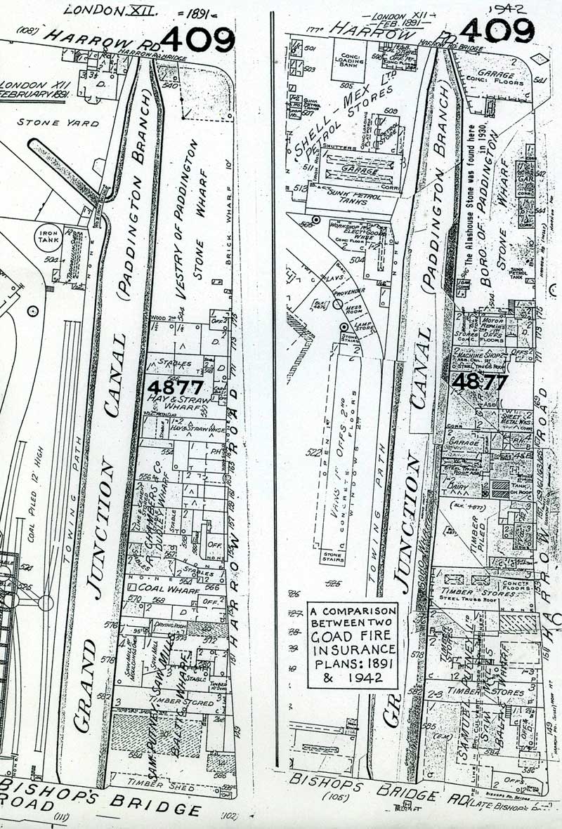
These two Goad maps, of 1891 and 1942, show the length of the canal between Bishop's Bridge and the Harrow Road/Westway bridge. In 1891 the railway goods Yard had coal sidings and coal piled 12 feet high alongside the canal. Coal could be delivered by rail or canal and presumably be transferred between the two. They were deadly rivals, but some interchange may have been to their mutual advantage. Opposite were the Samuel Putney saw mills (now Travis Perkins). Next was Dudley Wharf with coal, lime, cement and hay stores and finally, the Paddington Vestry Stone Wharf. It was an entirely industrial site.
 |
||
| Whole Map | Full Size | Full Size Map in New Window |
Paddington Goods Yard on the Junction Canal
The Goad Fire Insurance Maps of 1891 and 1942 compared
