Bomb sites in the Poets Roads 1939-45

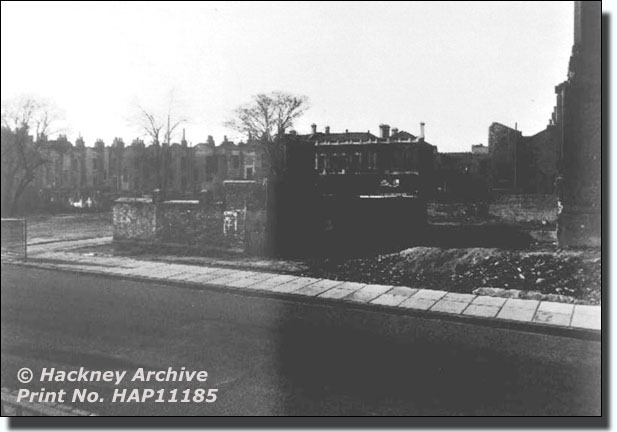
The bombed site of the former Parsonage of St Matthias Church. c. 1955
at the southern end of Wordsworth Road
This picture was taken from near St Matthias Church. The Church itself survived the bombing but the Parsonage was destroyed.

St Matthias Church Vicarage, photographed c. 1865
This Parsonage was built in the Oxford Gothic style, rather like the Vicarage of the New St Mary's Church, in Stoke Newington Church Street. The latter survived, apart from some damage to the gable wall and roof.
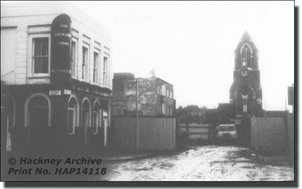
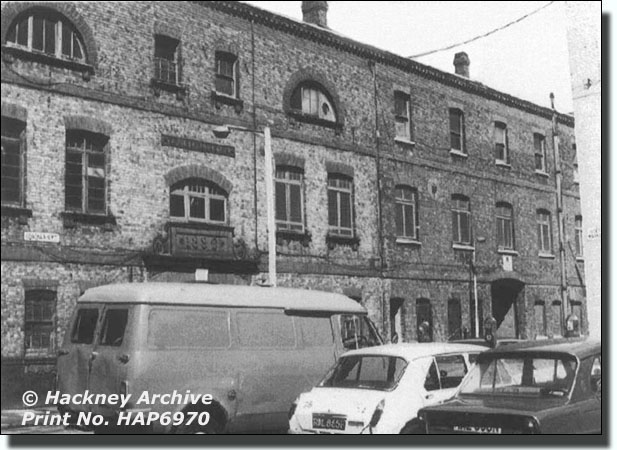
The Howard Arms, Spencer Grove c.1974
This photograph was taken a few years before the building of the new Milton Gardens Estate was started. The pub has now been demolished and replaced by housing.
Milton Grove, West Side
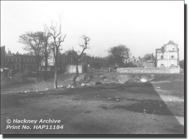
This picture was taken on 5th December 1945 from the back of Shakespeare Walk. It shows a devastated landscape from there to the backs of the houses in Albion Road. Everything between had been destroyed and the rubble cleared away.
Milton Grove - east side of the road looking south
The picture shows the huge bomb site in Milton Grove east, part of which was later preserved as an open space. We now know it as Butterfield Green, which seems to be bordered on the south by the old public right of way along Town Hall Approach and through to Wordsworth Road. The old Wordsworth School was at the end.

The 1939-45 Bomb Damage map of the Grasmere School area
| Colour Key References |
|
||
| Black -Total destruction | |||
| Purple - Damaged beyond repair | |||
| Dark Red - Doubtful if repairable | |||
| Light Red - Seriously damaged, but repairable at cost | |||
| Orange - General blast damage, not structural | |||
| Yellow - Blast damage, minor in nature | |||
| O | V1 flying bomb | large circle | |
| o | V2 long range rocket. | small circle | |
There will be slight variations in the colours because the original maps are old and the colour balance on computer monitors will vary |
|||

Uses of the Bombing Map on this website
The Houses Left in the Poets Road Area After the Bombing
Most of these were demolished later as the estate was being built. The people living in them must have waited anxiously month after month for it to be their turn to be re-housed in a clean modern flat. One lady described how, when she got the letter and the keys from the Council, she came running down the road. An old tenant, who had been in his flat for a full four weeks, held up his hand and said, "Slow up lass. It will still be there when you get there. And you'll live in it for fifty years."
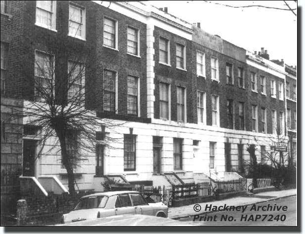
The fronts of Shakespeare Walk, west side, Nos.106-118, in 1978,
Taken from Browning House
Backs of Shakespeare Walk, west side, Nos. 72-94 in 1977, from Town Hall Approach.
To be able see the backs of these houses in Shakespeare Walk from Town Hall Approach, all the houses in between must heve been demolished. Binyon House was later built between Town Hall Approach and Shakespeare Walk.

Milton Grove looking south from the junction with Town Hall Approach, showing the Old Town Hall, Public Laundry and Public Baths just before demolition
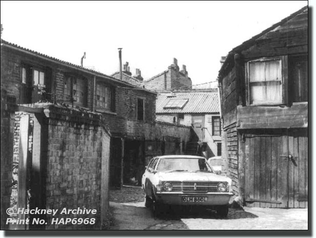
Shakespeare Mews, 1977

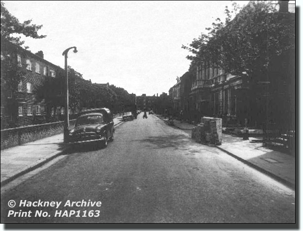
Milton Grove 1975